
Highway 2 Corridor Conditions
Stevens Pass, Skykomish and Snohomish river levels, weather warnings, fire danger, burn bans and power outages from Monroe to Skykomish, in one place.
Flood Stages on the Skykomish and Snohomish
River levels are reported as stage, the height of the water at the gauge in feet. The numbers below are the National Weather Service flood categories and Snohomish County's notes on what goes under water at each level. If you own or are buying near the river, these are the readings to watch from November through February.
Skykomish River near Gold Bar (NWS GLBW1, USGS 12134500)
Action stage 12.2 ft · Flood stage 15 ft · Moderate 17 ft · Major 19 ft
| Stage | What floods |
|---|---|
| 15 ft | Flooding begins over low pastures near Monroe. |
| 16 ft | Water over Ben Howard Road. Sportsman's Park begins to flood. |
| 17 ft | Riverbanks overflow and erode. Some flooding in Sultan. |
| 19 ft | Farms and homes near Monroe flood. Severe river flooding in Sultan. |
| 21 ft | Major flooding in all low areas. |
| 22 ft | Major overtopping of most dikes. |
Snohomish River near Monroe (NWS MROW1, USGS 12150800)
| Stage | What floods |
|---|---|
| 15 ft | Minor flooding of low pasture and several roads near the river. |
| 16 ft | Several roads and much of the low pasture in the valley flood. |
| 17 ft | Major flooding of farmland, roads and some homes; levees likely damaged. |
| 20 ft | Severe valley flooding: many homes, farmland and roads. |
| 22 ft | Deep, fast water across farms, homes and roads; levees may be overtopped. |
Impact notes: Snohomish County Surface Water Management river gauge pages. Thresholds: NOAA Northwest River Forecast Center.
Fire Season, Burn Bans and Power
Burn bans on the corridor come from three places. The Washington Department of Natural Resources sets fire danger and burn restrictions for DNR-protected forest land, which covers much of the land around Gold Bar, Index and Skykomish. Snohomish County's fire marshal sets bans for yard debris and recreational fires in the unincorporated county, usually from early summer until steady fall rain. The Puget Sound Clean Air Agency can also call air-quality burn bans in any season, including winter bans on wood stoves during stagnant air. The dashboard above shows the DNR status live and links to the other two.
Power on the west end of the corridor, from Monroe through Index, comes from Snohomish County PUD. Skykomish and Baring are served by Puget Sound Energy. Lines run through miles of forest, so wind storms and wet snow cause most outages, and the towns at the end of the line are often the last restored. A generator or wood stove is standard equipment for many homes out here, and it's worth asking about both when you buy.
Driving Highway 2: What Locals Know
I live in Gold Bar and drive Highway 2 every day, so this page is one I use myself. The live data above comes straight from WSDOT, the National Weather Service, NOAA river gauges and Washington DNR. What follows is the context that helps you read it, whether you're headed up to ski, coming home from work, or thinking about buying a place out here.
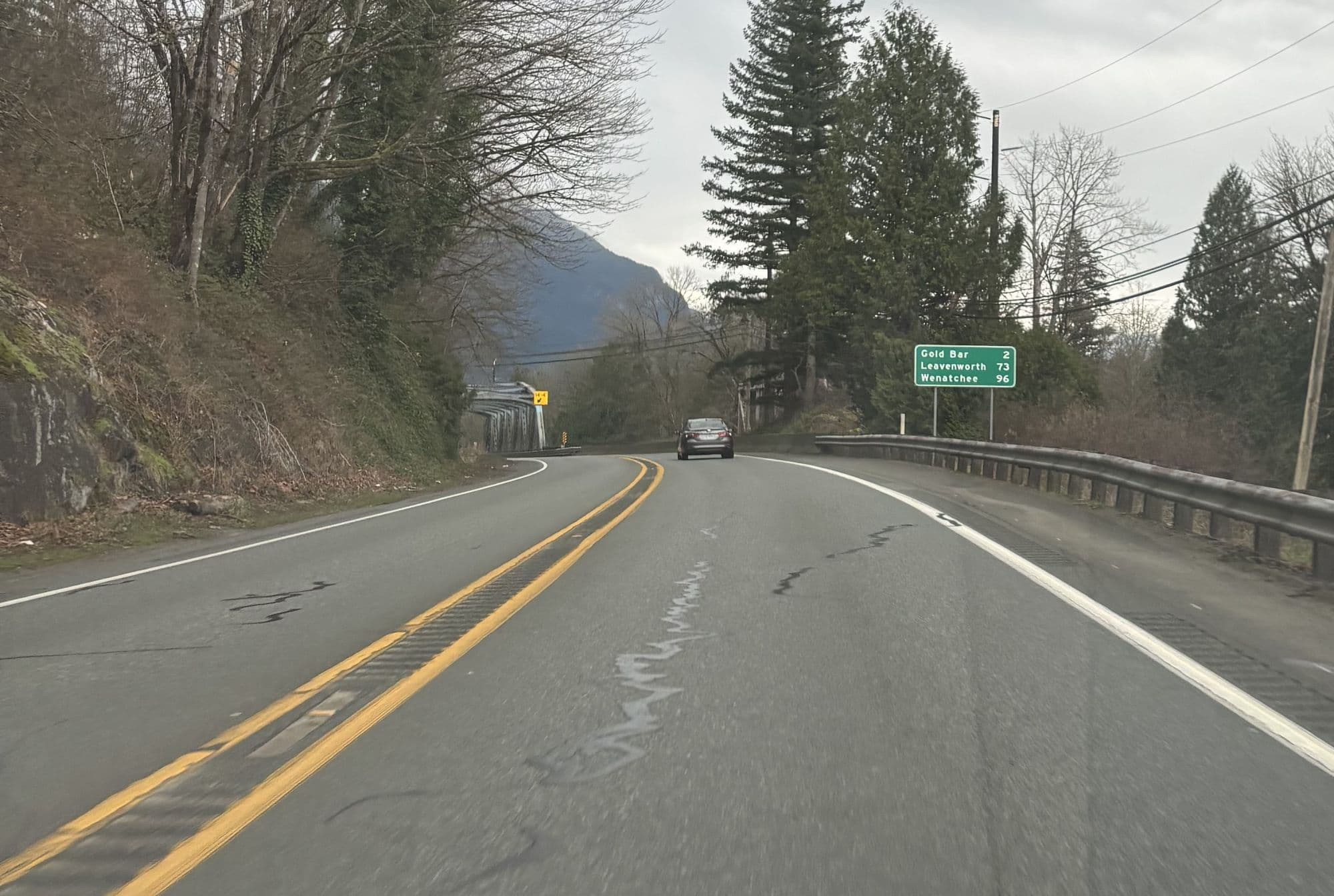
Highway 2 is the only road through this part of the Cascades. From Monroe it runs east through Sultan, Startup, Gold Bar, Index, Baring and Skykomish before climbing to Stevens Pass at 4,061 feet. When something closes it, there's no easy detour, which is why people out here check conditions the way other people check the weather.
Reading the Stevens Pass report
WSDOT posts a restriction level for each direction of the pass. From least to most serious:
- Traction tires advised. Conditions are slick. You aren't required to have anything special, but good tires make a real difference.
- Traction tires required. Every vehicle needs traction tires, and vehicles towing or over 10,000 pounds need chains.
- Chains required on all vehicles except all-wheel drive. If you're in a two-wheel-drive car, chain up or turn around. All-wheel-drive vehicles still need traction tires and should carry chains.
The pass also closes for avalanche control, usually for an hour or two at a time, and occasionally longer after big storms or collisions. If a closure is posted, the alerts above will show it.
How the road changes as you head east
Monroe to Gold Bar is valley driving. Snow is occasional, but this stretch carries the most traffic, and the two-lane section east of Sultan backs up on weekend afternoons, especially in ski season and summer.
Index to Skykomish is where the canyon narrows and the road climbs. Snow is far more common, shaded corners stay icy long after the sun comes out, and the Bolt Creek burn scar above the highway can send rock and debris onto the road in heavy rain.
Skykomish to the summit is about 17 miles of real mountain highway. This is where the chain requirements apply and where conditions can change from one mile to the next.
What this means if you live out here
For most people in Monroe, Sultan and Gold Bar, winter driving is a handful of days a year. East of Index, it's part of the routine: good tires, a stocked car, and checking the cameras before you leave. If you're house hunting, a few things are worth asking about that never come up in the suburbs:
- Who plows the road? County roads get plowed. Many private roads and shared driveways don't, unless there's a road maintenance agreement.
- How steep is the driveway? A driveway that's easy in August can be impossible in January. Look at it with winter in mind.
- What happens when the power goes out? Outages last longer the farther east you go, so a generator or wood heat matters more than it does in town.
My commuting guide covers realistic drive times from each town, and the buyer's guide goes through the rest of what's different about buying rural property along Highway 2.
Highway 2 Driving FAQ
Do I need chains to drive over Stevens Pass?
It depends on the day. WSDOT posts one of three levels for Stevens Pass: traction tires advised, traction tires required, or chains required on all vehicles except all-wheel drive. When chains are required, all-wheel-drive vehicles are exempt but should still carry chains. Check the pass report before you leave, not when you get to Skykomish.
What counts as a traction tire in Washington?
Washington counts a tire as a traction tire if it has at least 1/8 inch of tread and is marked M+S (mud and snow), all-season, or carries the mountain-and-snowflake symbol. Studded tires are legal from November 1 through March 31.
Does Highway 2 close between Index and Skykomish?
Sometimes. Since the 2022 Bolt Creek Fire, the burn scar above the highway between Index and Skykomish has caused rockfall and debris-flow closures during heavy rain. Most are short, but plan for the possibility if you live or own a cabin east of Index.
Does Highway 2 get snow in Monroe, Sultan and Gold Bar?
Occasionally. The towns west of Index sit low in the valley and usually see rain while the pass gets snow. A few times each winter, cold air and moisture line up and the whole corridor gets snow and ice. Snow is much more frequent from Index east, where the elevation climbs toward Skykomish.
At what level does the Skykomish River flood at Gold Bar?
The National Weather Service flood stage for the Skykomish River near Gold Bar is 15 feet, with action stage at 12.2 feet, moderate flooding at 17 feet and major flooding at 19 feet. At 15 feet low pastures near Monroe start to flood; at 16 feet water covers Ben Howard Road; at 19 feet farms and homes near Monroe flood and Sultan sees severe river flooding.
Is there a burn ban in Snohomish County right now?
Check three sources: DNR for forest land (shown live on this page), the Snohomish County fire marshal for yard and recreational fires, and the Puget Sound Clean Air Agency for air-quality bans. The county's summer ban usually starts in midsummer and lasts until there has been sustained fall rain.
Who provides power along Highway 2?
Snohomish County PUD serves Monroe, Sultan, Startup, Gold Bar and Index. Skykomish and Baring, on the King County side, are served by Puget Sound Energy. Both post live outage maps, linked on this page.
How long does it take to drive from Monroe to Stevens Pass?
About an hour in good conditions. In winter, on a busy ski weekend, or with chain restrictions, plan on longer, and expect slow traffic heading west on Sunday afternoons.